


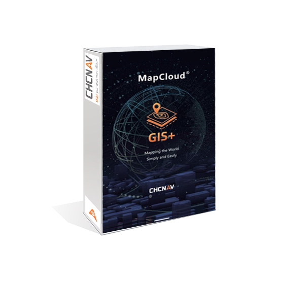


CHCNAV MapCloud
Advanced GIS Data Capture and Mapping App

Highlights
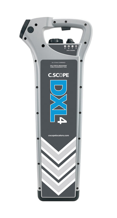
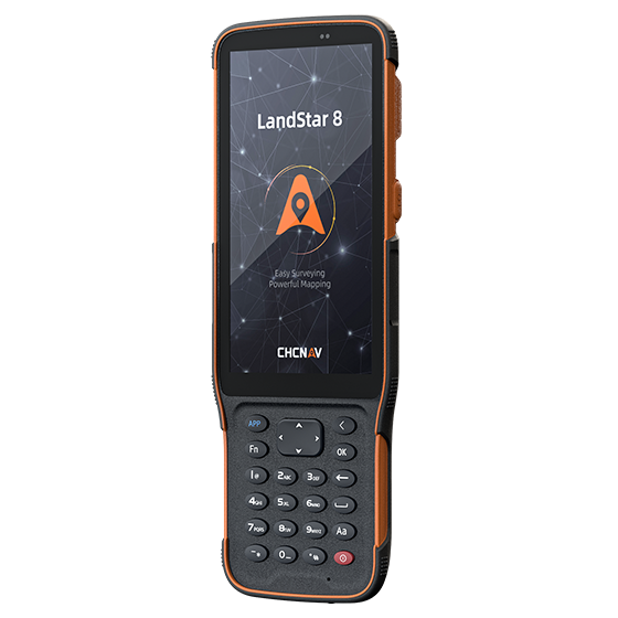
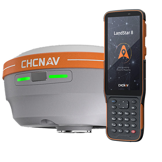
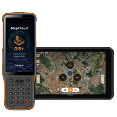
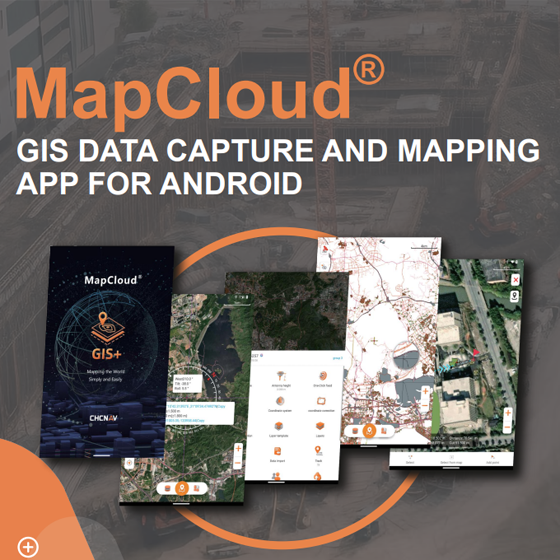
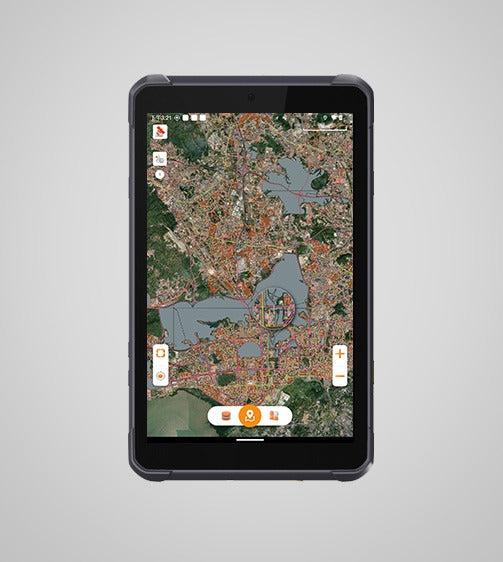
MapCloud is a powerful field data collection software designed specifically for Android devices. It integrates seamlessly with a wide range of GIS formats and CHCNAV GNSS RTK receivers, providing users with precise data collection capabilities. Tailored for professionals in pipeline management, forestry, utilities, and municipal asset management, MapCloud enhances field productivity and ensures efficient management of complex geospatial data.
Main Features
Multi-Format
SHP, DWG, DXF, KML, GPX, TIFF and more.
Flexible
Data collection through any Android devices.
Cloud Service
Integrated cloud connectivity with collaboration tools.
User-Friendly
Large map windows and customizable layer templates.
Benefits and Performances
Comprehensive GIS Format Support
MapCloud efficiently manages popular GIS formats, including SHP, DWG, DXF, KML, GPX, and more. It integrates seamlessly into existing workflows and makes it easy to load, modify, and export data.
Advanced Mapping Engine
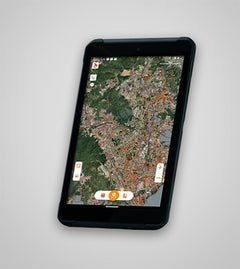
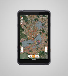
MapCloud advanced mapping engine quickly processes GB-grade SHP files and TB-grade TIFF files. You can easily analyze and manage large projects by visualizing detailed attributes and complex data sets.
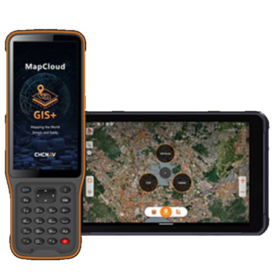
Flexible Data Collection
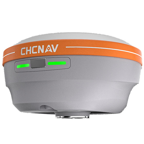
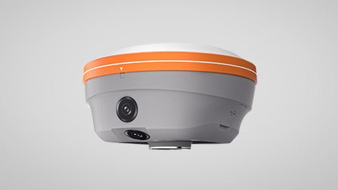
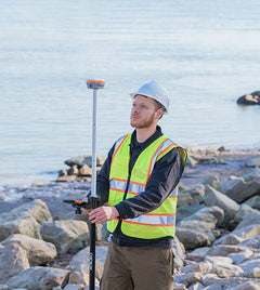
MapCloud offers two modes of data collection: directly from Android tablets or by connecting to CHCNAV GNSS RTK receivers, addressing both portable and high-precision surveying needs.
Extensive Measurement Capabilities
MapCloud supports multiple measurement methods, including coordinate stakeout, track recording, and length and area measurement. Voice prompts provide real-time guidance to improve jobsite operations.
Cloud-Based Collaboration
Enhance teamwork with MapCloud's cloud connectivity, which supports project backup, data sharing, and collaboration between field devices and office computers, making project management more efficient.
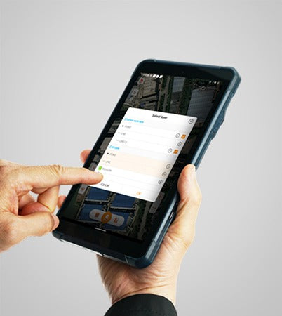
Intuitive User Interface
Get the job done efficiently with MapCloud's user-friendly design, large map windows, and vivid graphics. The software includes customizable layer templates and simultaneous multi-feature capture.
| Shipping | This Item Ships from Fremantle, Perth, Western Australia |
Please allow 2 - 10 days for your order to arrive.
Although Most Stocked Products will generally Ship Overnight. We source products from all over the world to bring you epic offers and the lowest prices. This means sometimes you have to wait a little longer to get your order but it's always worth it!
Returns are easy.
simply contact us for a returns number and send your item to our returns centre for fast processing. We'll get you a replacement or refund in a snap!
Description
CHCNAV MapCloud
Advanced GIS Data Capture and Mapping App
Highlights
MapCloud is a powerful field data collection software designed specifically for Android devices. It integrates seamlessly with a wide range of GIS formats and CHCNAV GNSS RTK receivers, providing users with precise data collection capabilities. Tailored for professionals in pipeline management, forestry, utilities, and municipal asset management, MapCloud enhances field productivity and ensures efficient management of complex geospatial data.
Main Features
Multi-Format
SHP, DWG, DXF, KML, GPX, TIFF and more.
Flexible
Data collection through any Android devices.
Cloud Service
Integrated cloud connectivity with collaboration tools.
User-Friendly
Large map windows and customizable layer templates.
Benefits and Performances
Comprehensive GIS Format Support
MapCloud efficiently manages popular GIS formats, including SHP, DWG, DXF, KML, GPX, and more. It integrates seamlessly into existing workflows and makes it easy to load, modify, and export data.
Advanced Mapping Engine
MapCloud advanced mapping engine quickly processes GB-grade SHP files and TB-grade TIFF files. You can easily analyze and manage large projects by visualizing detailed attributes and complex data sets.
Flexible Data Collection
MapCloud offers two modes of data collection: directly from Android tablets or by connecting to CHCNAV GNSS RTK receivers, addressing both portable and high-precision surveying needs.
Extensive Measurement Capabilities
MapCloud supports multiple measurement methods, including coordinate stakeout, track recording, and length and area measurement. Voice prompts provide real-time guidance to improve jobsite operations.
Cloud-Based Collaboration
Enhance teamwork with MapCloud's cloud connectivity, which supports project backup, data sharing, and collaboration between field devices and office computers, making project management more efficient.
Intuitive User Interface
Get the job done efficiently with MapCloud's user-friendly design, large map windows, and vivid graphics. The software includes customizable layer templates and simultaneous multi-feature capture.
Shipping
| Shipping | This item ships to |
Delivery & Returns
Please allow 2 - 10 days for your order to arrive.
Although Most Stocked Products will generally Ship Overnight. We source products from all over the world to bring you epic offers and the lowest prices. This means sometimes you have to wait a little longer to get your order but it's always worth it!
Returns are easy.
simply contact us for a returns number and send your item to our returns centre for fast processing. We'll get you a replacement or refund in a snap!
6 Great reasons to buy from us:
-

30 Days Return
If your product is faulty or damaged under manufacture warranty, simply send it back to us and we'll cheerfully replace it or fix the problem for you. -

Returns are Easy
Simply contact us for a returns number and send your item to our returns centre for fast processing. We'll get you a replacement or refund in a snap! -

Best Price Guarantee
In the unlikely event that you find your item cheaper at another online store, just let us know and we'll beat the competitor's pricing hands-down. -

We guarantee your satisfaction
We insist that you love everything you buy from us. If you're unhappy for any reason whatsoever, just let us know and we'll bend over backwards to make things right again. -

100% Safe & Secure
Ordering from Laserman Technologies is 100% safe and secure so you can rest easy. Your personal details are never shared, sold or rented to anyone either. -

Best Laser Warranties in the Business
Laserman the Best Laser Level, Pipe Laser and Laser Measuring Warranties in the Business - Now thats unbeatable value !!.