


LiGrip O2 Lite
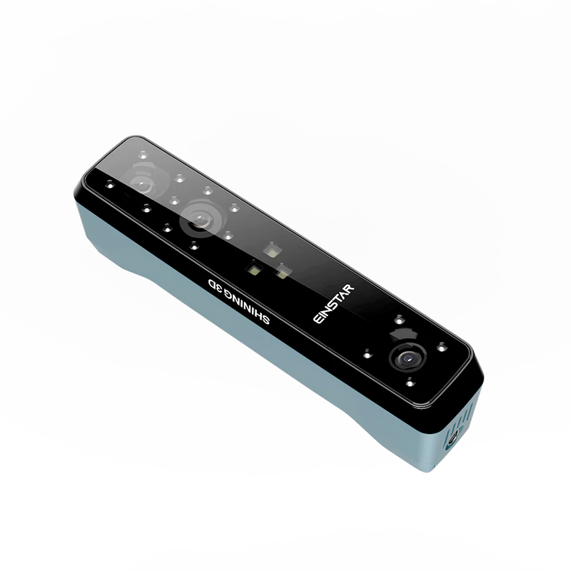
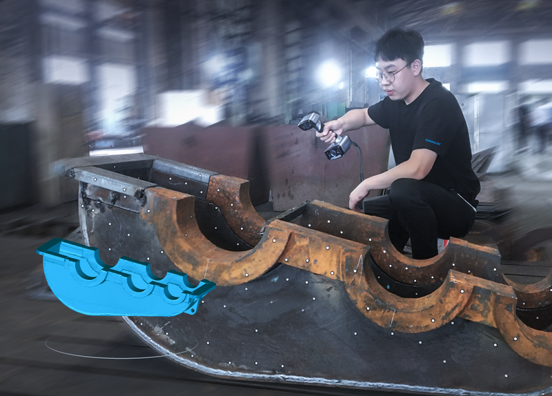
LiGrip O2 Lite is the latest-generation handheld SLAM product from GreenValley International (GVI), utilizing MLF-SLAM (Multiple Localization Fusion-SLAM) multi-sensor fusion positioning technology. It overcomes mapping challenges in featureless environments such as airports, beaches, and rivers, achieving centimeter-level data collection in all scenarios.
Featureless Data Acquisition: The innovative MLF-SLAM algorithm! A breakthrough LiDAR SLAM algorithm that overcomes mapping challenges in weak or featureless environments (e.g., airports, beaches, water areas) , enabling high-precision data acquisition across all scenarios.
Precision Data, Outstanding Performance: Compact and Mighty! 3 cm absolute accuracy, high-fidelity point cloud with precise horizontal and vertical alignment, meeting surveying-grade standards and streamlining surveying tasks.
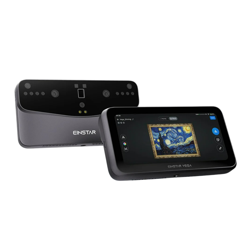
High-definition Panoramic + Visual SLAM Camera: Dual 12 MP panoramic cameras: Microsecond-level synchronization to realistically restore scenes. Visual SLAM (VSLAM) & LiDAR-SLAM Deep Fusion enabling precise mapping in complex environments.
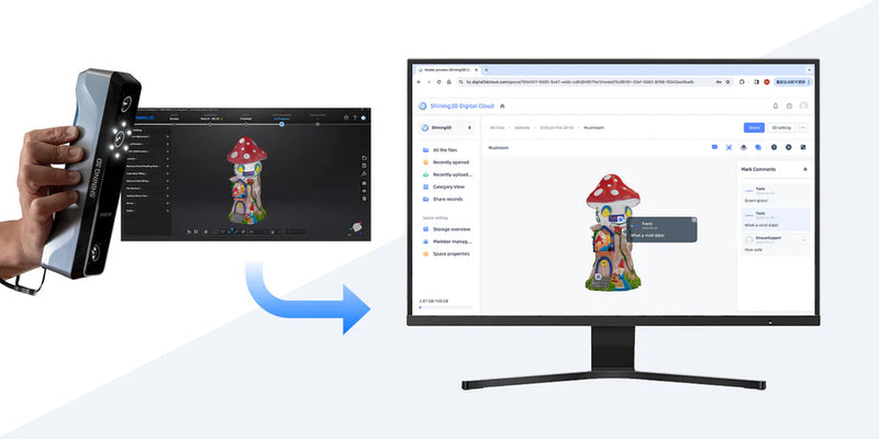
Real-time Processing and Colorisation: Real-time true-color point cloud mapping: Ready for immediate export, supports multi-scenario applications such as earthwork calculation, individual tree segmentation, and topographic mapping.
One-time Data Collection, Multi-dimensional Output: Integrated solution for multi-source data collection. Simultaneous output of 3D point clouds, panoramic images, 3DGS, MESH, and other data in one collection, breaking the limitations of traditional sequential operations and improving cost-efficiency.
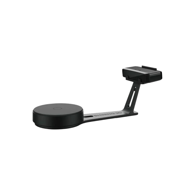
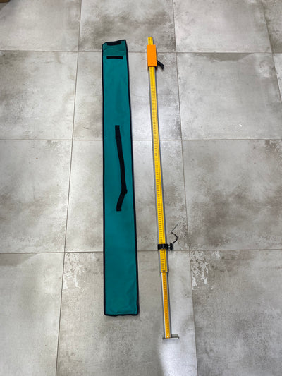
Multi-form Data Collection: Supports various forms of data collection: Handheld, backpack, frontpack kit, and telescopic pole, allowing flexible adaptation to diverse customer collection scenarios.
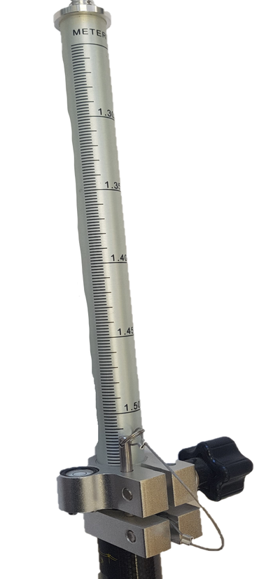
RTK-SLAM Collection Mode: Self-developed RTK-SLAM technology: In conjunction with a telescopic pole, enables full-range high-precision RTK data collection, with accuracy <5 cm in 1 minute without GNSS.
| Shipping | This Item Ships from Fremantle, Perth, Western Australia |
Please allow 2 - 10 days for your order to arrive.
Although Most Stocked Products will generally Ship Overnight. We source products from all over the world to bring you epic offers and the lowest prices. This means sometimes you have to wait a little longer to get your order but it's always worth it!
Returns are easy.
simply contact us for a returns number and send your item to our returns centre for fast processing. We'll get you a replacement or refund in a snap!
Description
LiGrip O2 Lite
LiGrip O2 Lite is the latest-generation handheld SLAM product from GreenValley International (GVI), utilizing MLF-SLAM (Multiple Localization Fusion-SLAM) multi-sensor fusion positioning technology. It overcomes mapping challenges in featureless environments such as airports, beaches, and rivers, achieving centimeter-level data collection in all scenarios.
Featureless Data Acquisition: The innovative MLF-SLAM algorithm! A breakthrough LiDAR SLAM algorithm that overcomes mapping challenges in weak or featureless environments (e.g., airports, beaches, water areas) , enabling high-precision data acquisition across all scenarios.
Precision Data, Outstanding Performance: Compact and Mighty! 3 cm absolute accuracy, high-fidelity point cloud with precise horizontal and vertical alignment, meeting surveying-grade standards and streamlining surveying tasks.
High-definition Panoramic + Visual SLAM Camera: Dual 12 MP panoramic cameras: Microsecond-level synchronization to realistically restore scenes. Visual SLAM (VSLAM) & LiDAR-SLAM Deep Fusion enabling precise mapping in complex environments.
Real-time Processing and Colorisation: Real-time true-color point cloud mapping: Ready for immediate export, supports multi-scenario applications such as earthwork calculation, individual tree segmentation, and topographic mapping.
One-time Data Collection, Multi-dimensional Output: Integrated solution for multi-source data collection. Simultaneous output of 3D point clouds, panoramic images, 3DGS, MESH, and other data in one collection, breaking the limitations of traditional sequential operations and improving cost-efficiency.
Multi-form Data Collection: Supports various forms of data collection: Handheld, backpack, frontpack kit, and telescopic pole, allowing flexible adaptation to diverse customer collection scenarios.
RTK-SLAM Collection Mode: Self-developed RTK-SLAM technology: In conjunction with a telescopic pole, enables full-range high-precision RTK data collection, with accuracy <5 cm in 1 minute without GNSS.
Shipping
| Shipping | This item ships to |
Delivery & Returns
Please allow 2 - 10 days for your order to arrive.
Although Most Stocked Products will generally Ship Overnight. We source products from all over the world to bring you epic offers and the lowest prices. This means sometimes you have to wait a little longer to get your order but it's always worth it!
Returns are easy.
simply contact us for a returns number and send your item to our returns centre for fast processing. We'll get you a replacement or refund in a snap!
6 Great reasons to buy from us:
-

30 Days Return
If your product is faulty or damaged under manufacture warranty, simply send it back to us and we'll cheerfully replace it or fix the problem for you. -

Returns are Easy
Simply contact us for a returns number and send your item to our returns centre for fast processing. We'll get you a replacement or refund in a snap! -

Best Price Guarantee
In the unlikely event that you find your item cheaper at another online store, just let us know and we'll beat the competitor's pricing hands-down. -

We guarantee your satisfaction
We insist that you love everything you buy from us. If you're unhappy for any reason whatsoever, just let us know and we'll bend over backwards to make things right again. -

100% Safe & Secure
Ordering from Laserman Technologies is 100% safe and secure so you can rest easy. Your personal details are never shared, sold or rented to anyone either. -

Best Laser Warranties in the Business
Laserman the Best Laser Level, Pipe Laser and Laser Measuring Warranties in the Business - Now thats unbeatable value !!.


Related Products