Size
Brand
- Sort by Featured
- Sort by Best Selling
- Sort by Alphabetically, A-Z
- Sort by Alphabetically, Z-A
- Sort by Price, low to high
- Sort by Price, high to low
- Sort by Date, new to old
- Sort by Date, old to new
Filter Products


Leica Geosystems – when it has to be right
Leica Geosystems is a world-renowned company that provides a comprehensive range of professional measurement and survey solutions. A leader in the geospatial industry, they are known for their precision instruments and advanced software that help professionals capture, analyze, and visualize spatial data.
Core Product Lines & Solutions
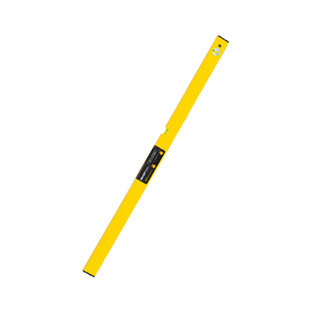
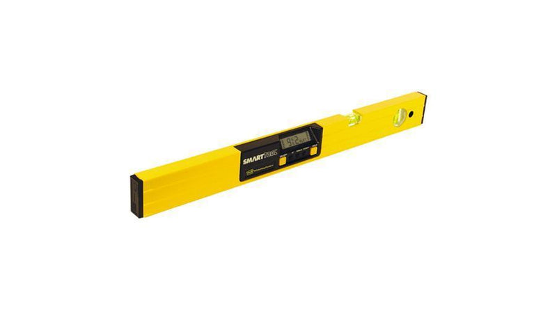
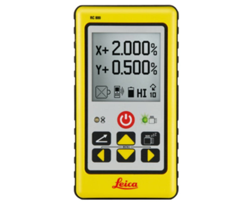
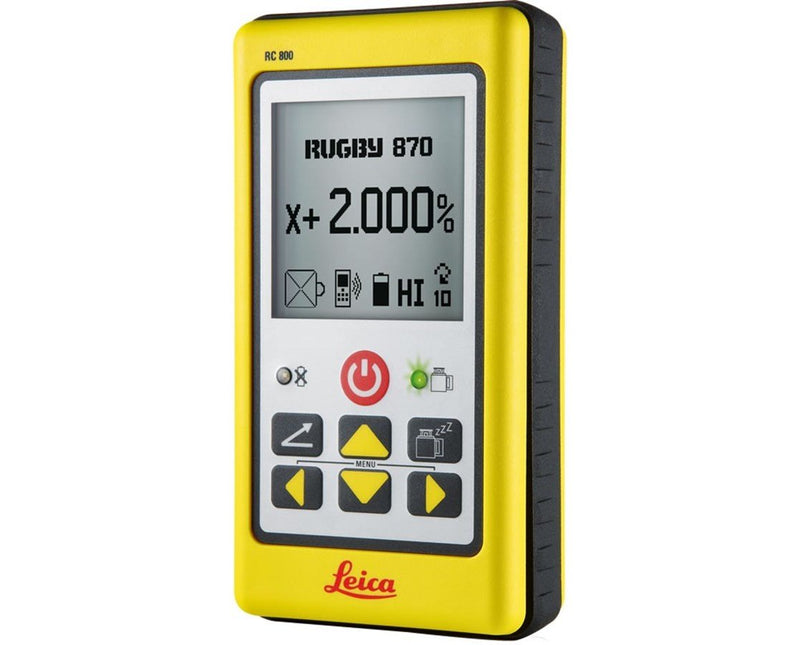
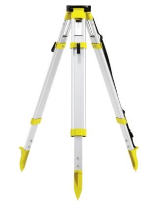
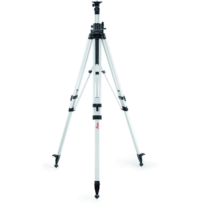
Leica Geosystems offers a broad portfolio of products and solutions for a diverse range of industries, including construction, surveying, civil engineering, mining, and public safety. Surveying & Engineering, 3D Laser Scanning, Construction Tools Utility & Subsurface Detection, Machine Control, Software
In short, Leica Geosystems is a trusted name for any professional who needs to measure and map the physical world with the highest degree of precision and reliability.